AI in Road Condition Analysis: From Imagery to Maintenance Decisions
Road agencies need repeatable information about potholes, cracking, rutting, patches, and surface deterioration. Traditional windshield surveys and periodic engineering inspections remain essential, but they are expensive to repeat across an entire network. Computer vision can help screen imagery consistently, locate potential defects, and organize evidence for engineers.
Problem
Condition data is often collected infrequently, recorded differently by each inspector, and separated from GIS, complaints, traffic, work orders, and repair history. By the time a capital plan is assembled, some observations are already stale. Resident reports help, but they are unevenly distributed and rarely describe severity consistently.
AI alone is not a pavement-management system. Poor lighting, shadows, water, debris, construction joints, camera angle, speed, and seasonal changes can produce false detections. A model trained in one region may perform differently on another road network.
Why it matters
Better network visibility helps municipalities intervene before minor distress becomes expensive reconstruction. It also supports defensible prioritization: staff can combine observed condition with traffic, safety, equity, drainage, utility work, complaints, and project coordination instead of relying on the loudest request.
Solution
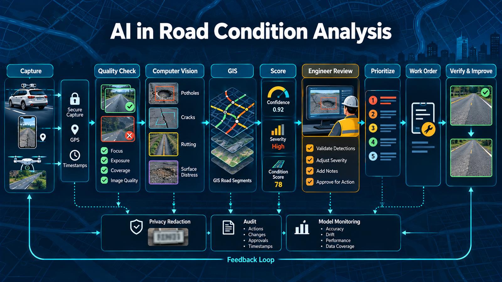
Use standardized, geolocated imagery from approved survey vehicles, mobile devices, or other lawful sources. Validate image quality, redact unnecessary personal information, run computer vision to identify candidate defects, attach results to GIS road segments, and calculate confidence and severity indicators. Engineers review samples and high-impact findings before the data influences maintenance decisions.
The workflow should preserve source imagery, model version, location, timestamp, confidence, reviewer changes, and downstream action. Completed repairs then become feedback for measuring whether the workflow found the right problems and whether treatments worked.
Architecture
Survey vehicle / Mobile device / Approved imagery
                    ↓
 GPS + timestamp + secure capture
                    ↓
 Quality checks + privacy redaction
                    ↓
 Computer vision: potholes / cracks / rutting /
 surface distress / patches
                    ↓
 GIS map matching to road segment
                    ↓
 Confidence + severity + condition indicators
             ↙                 ↘
 Engineer validation       Exception queue
             ↘                 ↙
 Prioritization with traffic, safety, cost,
 complaints, equity, and planned projects
                    ↓
 Work order / capital plan / field inspection
                    ↓
 Post-repair verification + model monitoring
Example workflow
Vehicle captures road imagery every few meters
     ↓
Workflow rejects blurred, dark, or incomplete frames
     ↓
Model detects candidate potholes and cracking
     ↓
Coordinates snap observations to GIS centerlines
     ↓
Duplicates merge into one road-segment finding
     ↓
Engineer reviews high-severity and low-confidence cases
     ↓
Approved findings enter maintenance-priority model
     ↓
Crew receives work order and verifies field condition
     ↓
Repair photo closes work and updates condition history
Technology Stack
- Computer Vision: detection or segmentation of visible pavement distress.
- GIS: road centerlines, jurisdiction, assets, projects, traffic, and spatial analysis.
- Python: image processing, model inference, validation, and analytics.
- n8n or workflow orchestration: ingestion, routing, review, APIs, retries, and alerts.
- Object storage: governed source imagery and derived evidence.
- PostgreSQL/PostGIS: observations, road segments, versions, and spatial queries.
- Work management API: inspections, work orders, crews, costs, and completion.
- Monitoring: model quality, coverage, drift, exceptions, and processing health.
Implementation
1. Define the decision
Decide whether the output supports screening, inspection scheduling, routine maintenance, or capital planning. Do not use one score for every decision.
2. Establish a condition taxonomy
Define each distress type, minimum visible size, severity levels, exclusions, and how observations relate to accepted engineering standards.
3. Design representative collection
Standardize camera position, resolution, speed, overlap, time of day, seasons, GPS quality, and coverage. Include different pavement types and neighborhoods.
4. Protect privacy and security
Publish a collection policy, minimize imagery, redact faces and plates when required, control access, encrypt data, and apply records-retention rules.
5. Build ground truth
Have qualified reviewers label representative imagery with documented guidance. Measure agreement and resolve ambiguous cases before training or procurement acceptance.
6. Validate image quality first
Reject unusable frames before inference. Track missing coverage so a clean dashboard is not mistaken for a complete survey.
7. Link observations to GIS
Map-match detections to stable road-segment identifiers and preserve raw coordinates. Avoid double-counting the same defect across adjacent frames.
8. Evaluate the model by defect and context
Measure precision and recall separately for potholes, cracking, rutting, pavement type, lighting, weather, camera, and geography—not only one average accuracy number.
9. Add engineering review
Review low-confidence, high-severity, safety-related, unusual, and sampled routine detections. Capture overrides and reasons.
10. Separate condition from priority
Combine validated condition with traffic, safety, cost, treatment windows, drainage, equity, complaints, and coordinated projects through transparent policy.
11. Integrate work execution
Create inspections or work orders idempotently, retain evidence, and record field findings, treatment, labor, materials, and completion.
12. Monitor and recalibrate
Track coverage, false positives, missed defects, reviewer overrides, drift, cycle time, cost, and repair outcomes. Revalidate after model, camera, road, or policy changes.
Benefits
- Time savings: faster network screening and evidence preparation.
- Money savings: earlier intervention and better-targeted inspection resources.
- Error reduction: standardized collection, repeatable classifications, and audit trails.
- Resident experience: more consistent prioritization and clearer status information.
- Planning: spatial condition history supports budgets and treatment strategies.
- Accountability: engineers can review the source, model output, changes, and final action.
Industry insight: condition evidence is not a funding decision
Computer vision can expand what staff can observe, but it cannot decide community priorities by itself. The strongest programs treat model output as one evidence layer inside a transparent pavement-management process with engineering validation and public accountability.
Read also
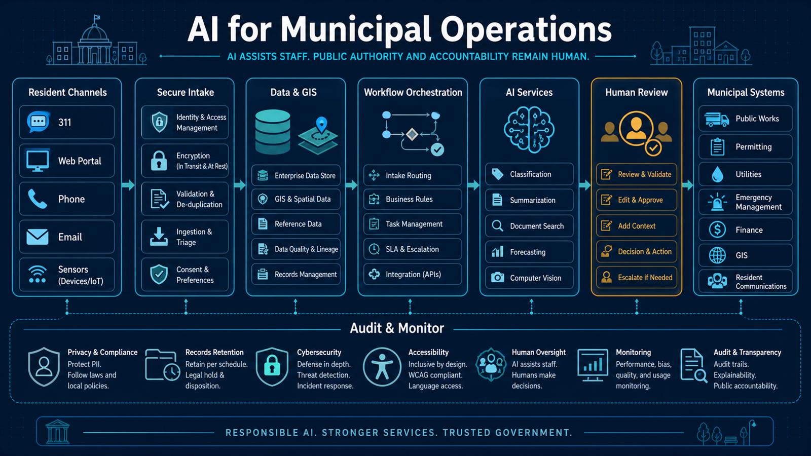
- AI for Municipal Operations
- The Complete Guide to AI Automation
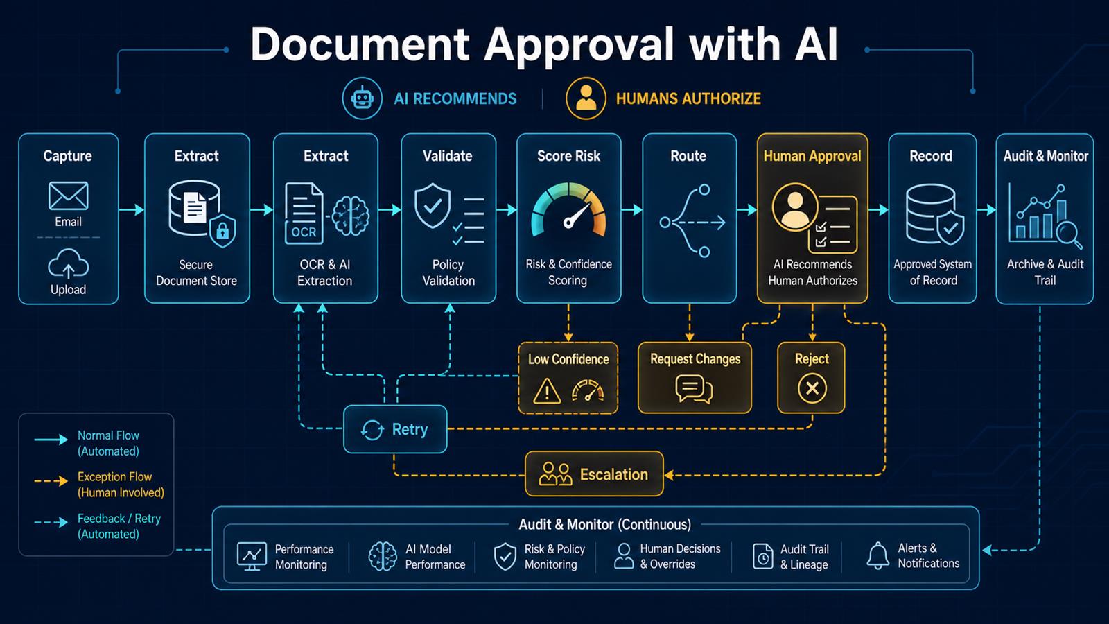
- Document Approval with AI
- Practical AI: Where to Start
Need help implementing this? Contact Jupabequi for a free consultation.